Google Maps to Drone Photo
Turn a Google Maps capture into a realistic drone-style aerial view.
- Free to try
- ~3s per render
- No credit card
Est. 2s · NanoBanana
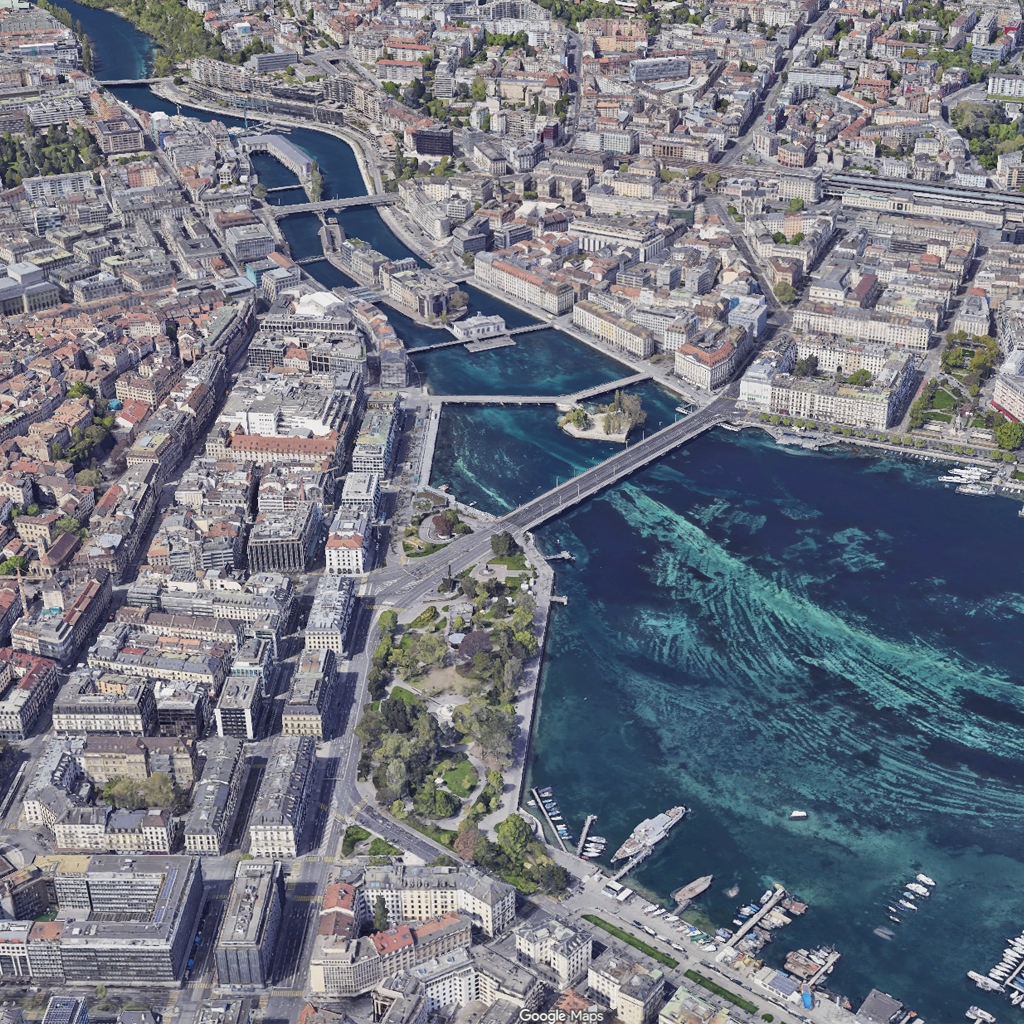
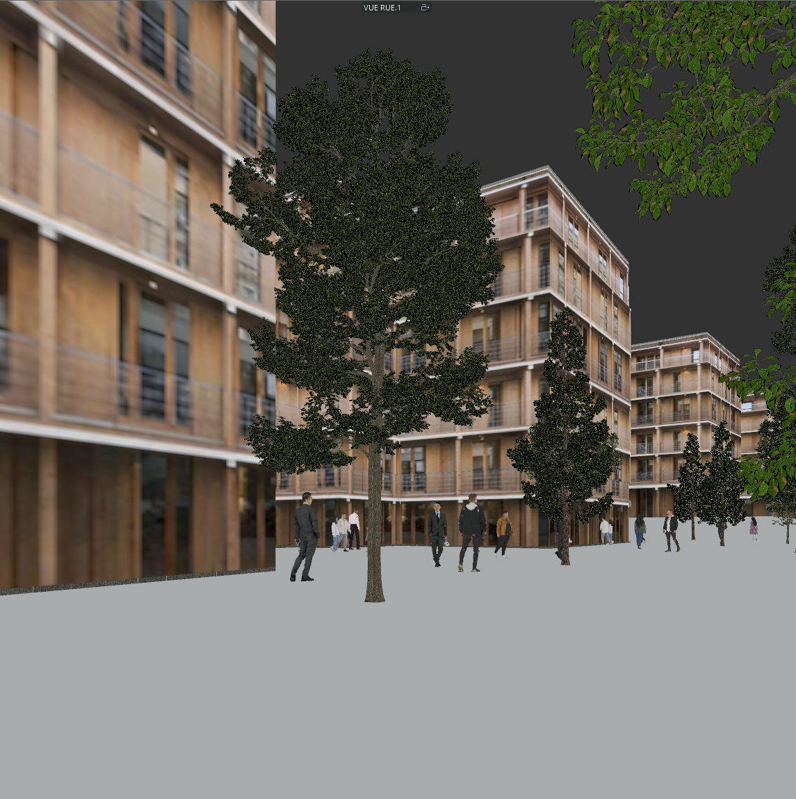
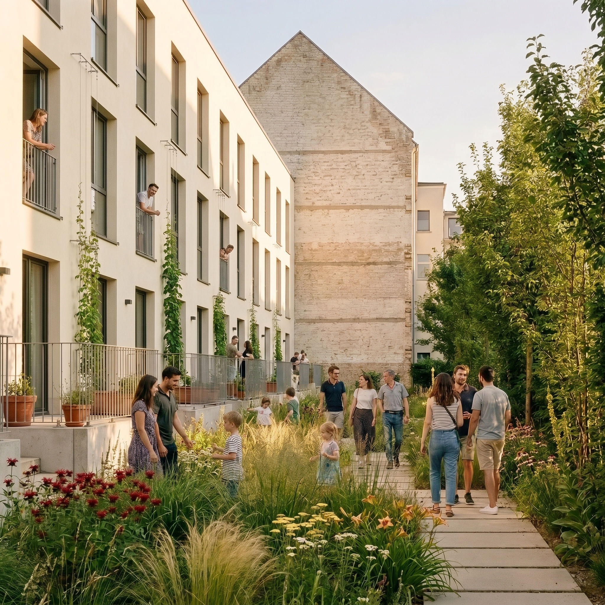
Sample input · click Generate to see the result
About this model
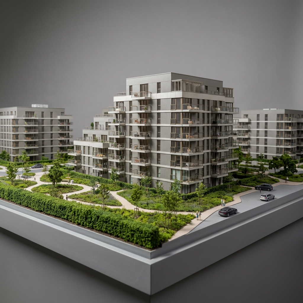
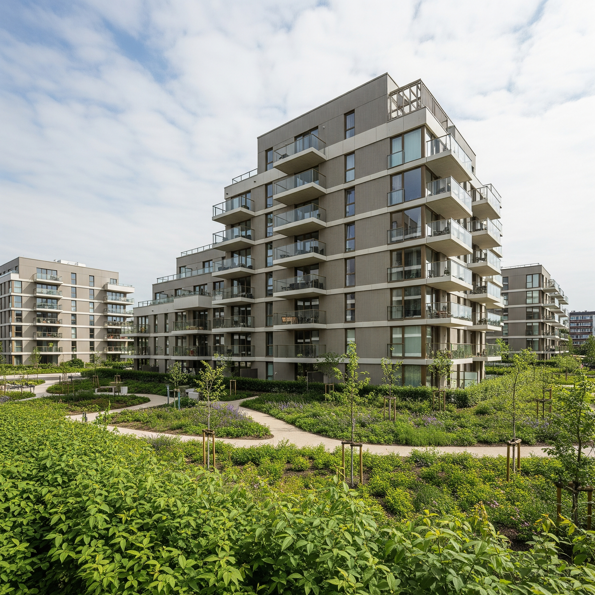
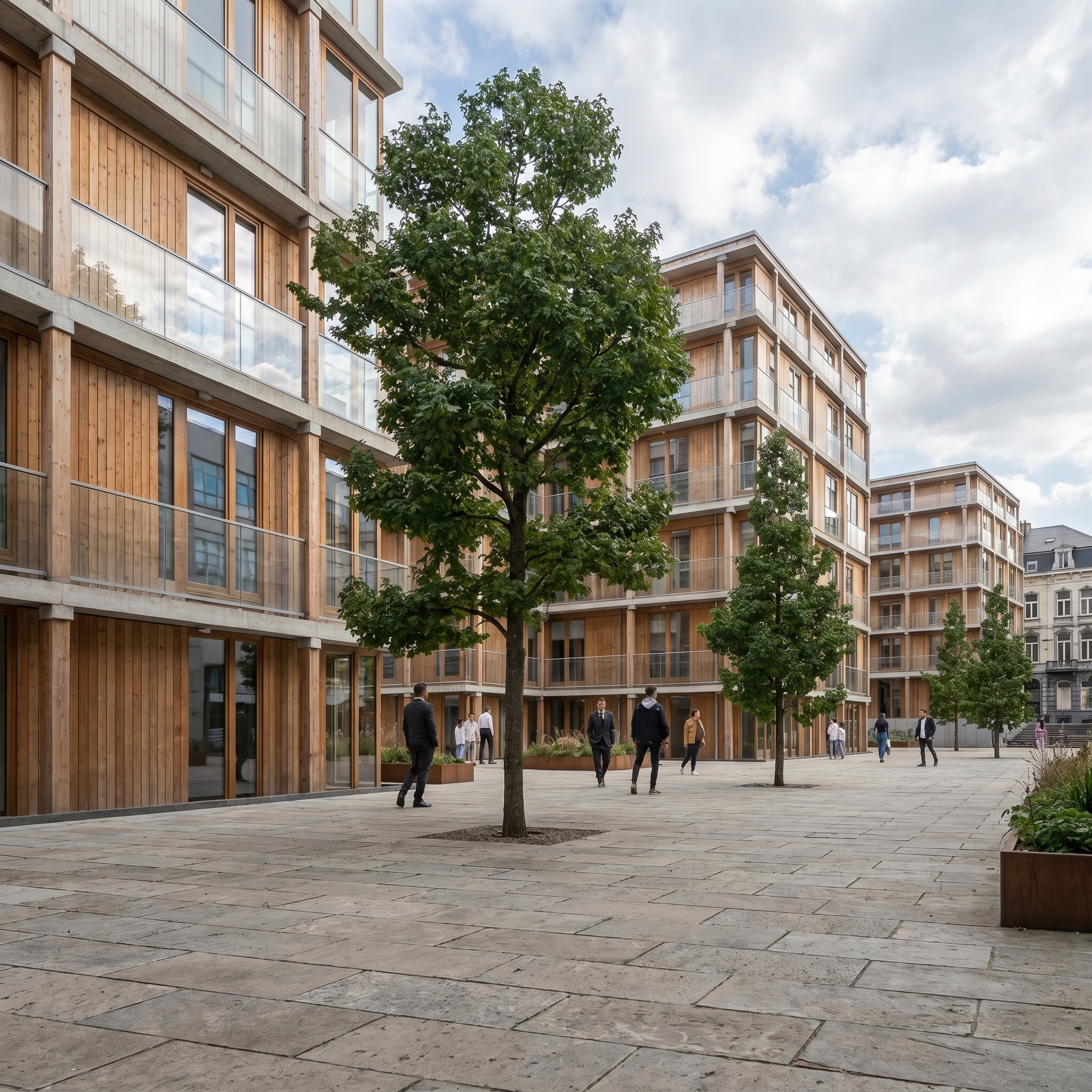
Turns a top-down Google Maps screenshot into a photorealistic aerial drone photograph of the same site. Map UI, road labels, transit overlays and other interface tells are removed; the building footprints, vegetation, road geometry and sun orientation of the original image are preserved. The output reads as a spring-day drone shot taken at low altitude over the actual location. A cinematic mode adapts the sun direction and atmosphere for a moodier, lower-angle aesthetic — high-fidelity texture, photorealistic lighting, 8k register. Standard mode keeps the source orientation and produces a publishable aerial document. Useful for urban planners, architects and developers who need an aerial visualisation of a project site without commissioning a drone flight or paying for an orthophoto licence.
When to use it
An urban planning office is preparing a feasibility study for a new mixed-use development on a 3-hectare site at the edge of a mid-sized European town. The deck needs an aerial view of the existing site, and a commissioned drone flight costs four figures plus two weeks of waiting on weather. The team takes a Google Maps screenshot of the parcel, runs it through Google Maps to Drone Photo, gets a publishable aerial photograph in seconds, drops it on page two of the deck.
Templates that pair well

We respect your privacy
We use cookies to measure how Arkia is used so we can improve it. Nothing is tracked until you agree.